Aerial renders: what they show, when a drone photo is needed, and what they cost
What an aerial render shows, when it is built on a drone photograph and what CASA's drone rules mean for that flight, what to send and what it costs.
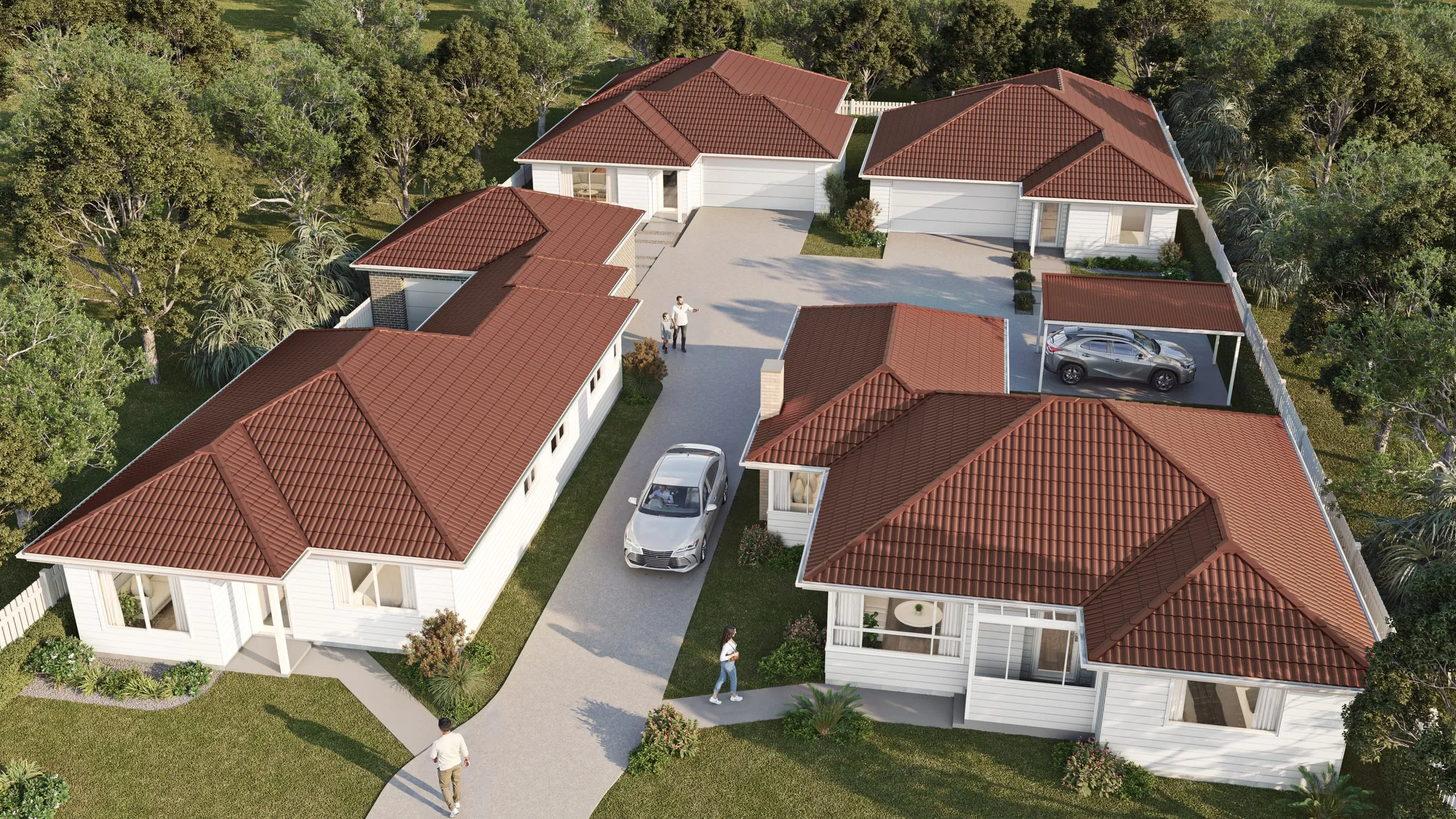
An aerial render shows a project from above, in its real setting: an estate or precinct with its streets and open space, a staged land release, or a single building among its neighbours. It answers the questions an eye-level view can’t: how the site connects to its surroundings, how the buildings are arranged, where each stage goes. This guide covers the three kinds of aerial, when one needs a drone photograph and what Australia’s drone rules mean for that flight, what to send and what it costs.
Three kinds of aerial
| Kind | Built from | Best for | Limits |
|---|---|---|---|
| CGI aerial | Built from: The plans for the project; the surroundings modelled from survey, cadastral data and aerial imagery | Best for: Any height, angle or time of day, and stages that don't exist yet | Limits: The surroundings are only as current as the data they are built from |
| Aerial photomontage | Built from: The project rendered into a photograph of the real site, taken from a drone | Best for: Showing the project in the place exactly as it looks today | Limits: The camera can only be where a drone could legally fly |
| Masterplan and staging views | Built from: A CGI aerial of the whole site, seen from high above or straight down | Best for: Stages, lots, open space and movement networks, labelled for sales or clean for planning | Limits: Reads as a plan, so it sells the layout rather than the architecture |
Many projects use more than one. A land release might pair a staging view for the sales office with a CGI aerial for the brochure, and an apartment building might add one aerial photomontage to show it in its street exactly as it is today.
When the aerial needs a drone photo
Only a photomontage needs one, and in Australia that flight is governed by the Civil Aviation Safety Authority. CASA’s drone safety rules say, among other things (CASA, drone safety rules):
- Height: no higher than 120 m above ground level.
- People: at least 30 m from other people, and never over a person.
- Places: not in a populous area, which includes beaches, parks, events and sports ovals during games.
- Sight and light: within visual line of sight, seen with your own eyes rather than through a screen, only one drone at a time, and only in daylight.
- Airports: a drone over 250 g must not fly within 5.5 km of a controlled airport; one of 250 g or less can fly up to 45 m high within 5.5 km but must stay out of the airport boundary.
- Flying for work: extra rules apply. The drone must be registered and the pilot needs a licence or accreditation.
CASA can fine up to $1,820 per offence, and up to $18,200 if the matter goes to court.
In practice, the rules often decide which kind of aerial a project gets. A site in a busy centre, next to a park full of people, inside 5.5 km of a controlled airport, or one whose best view is from above 120 m may not be photographable from the position the image needs. Built as a CGI aerial instead, the camera can sit wherever the view works, with the surroundings modelled from survey and aerial data rather than photographed. Where a photomontage is the right answer, book a licensed or accredited operator, allow for daylight and fair weather, and ask them to record each camera’s position, height and lens.
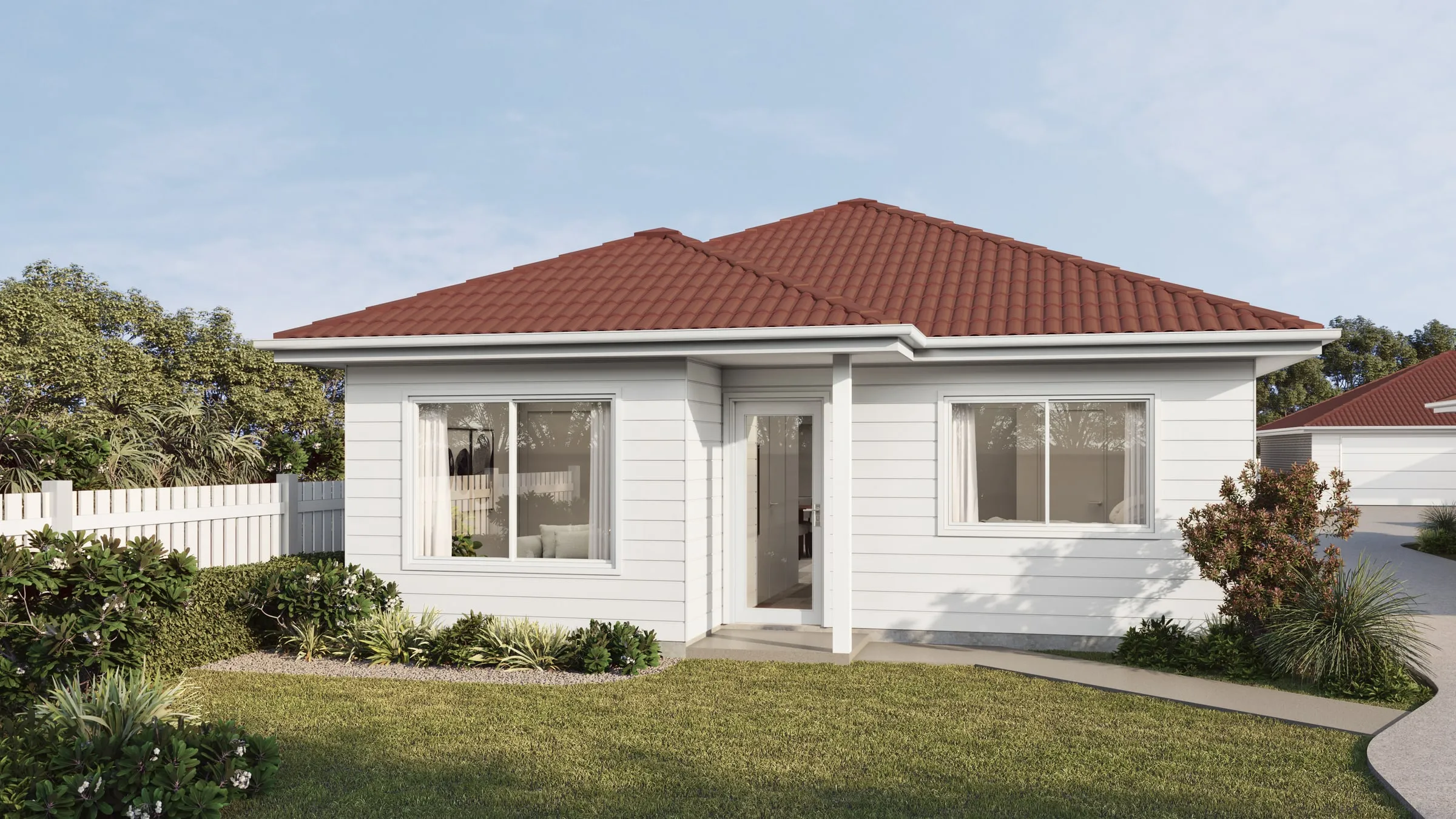
Aerials in a development application
An aerial explains a site: its context, its layout and its staging. It doesn’t replace the eye-level views a council or the court may want to judge visual impact. Our guide to the NSW Land and Environment Court’s photomontage policy covers what the court asks of a photomontage relied on as expert evidence, and our comparison of 3D model requirements for development applications shows which authorities want a model of the development itself.
When an aerial does go into a planning submission, two habits keep it credible. Build the surrounding buildings from survey and aerial data, never invent them, and supply a clean version without sales labels beside the marketing version.
What to send
- The masterplan or site plan, and the survey, so the site and its levels sit correctly.
- Architectural plans and elevations for the buildings, at whatever stage of design they are.
- Civil and landscape plans for roads, paths, planting and open space.
- The staging plan and lot layout, for a land release.
- For a photomontage, the drone photographs, with each camera’s position, height and lens if the operator recorded them.
- Where the image will be used: a sales board or hoarding, a brochure, the website, or a planning submission.
What it costs and how long it takes
Our aerial and masterplan renders start from $1,900 + GST per aerial still. Release frames for later stages come from the same scene, each view can be supplied labelled for sales and clean for planning, and the whole set is quoted as one fixed price. An aerial typically takes four to six business days once the plans and site data are settled.
Send the plans and a line on what the aerial is for, and a fixed price, a written scope and a delivery date come back within two business hours. For what other Australian studios publish for an aerial, see our survey of published render prices.
CASA’s rules above are from its drone safety rules page, read in November 2026; check the current rules, and any airspace restrictions at the site, before a flight is booked.